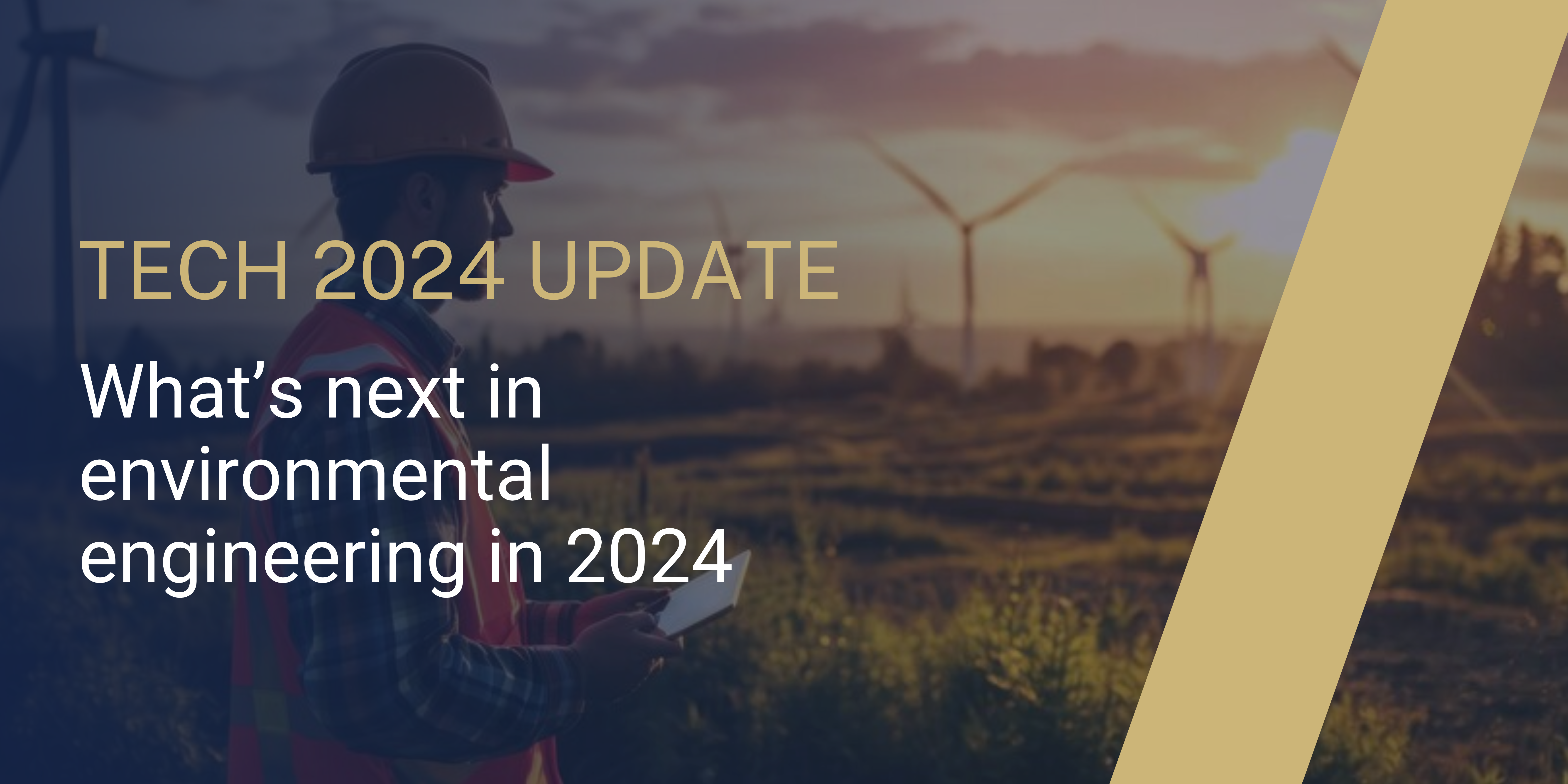


Geotechnical engineering, a specialized branch of civil engineering, is vital for understanding the properties and behaviors of earth materials like soil and rock. This field plays a crucial role in the design, construction, and maintenance of critical infrastructure worldwide, ensuring stability and safety. Recent innovations, exemplified by Vertex, have significantly advanced geotechnical engineering. Vertex’s contributions include advancements in computational modeling, sustainable practices, and digital technologies. Their expertise encompasses site investigations, soil testing, foundation design, and ground improvement techniques, all aimed at enhancing project resilience and sustainability. By integrating eco-friendly materials and leveraging advanced data-driven methodologies, Vertex continues to innovate in geotechnical solutions, meeting the evolving demands of modern infrastructure development with precision and innovation.
Evolution of Geotechnical Engineering
Geotechnical engineering traces its roots to ancient civilizations where manipulating soil and rock was essential for agriculture and shelter. Over time, geotechnical challenges grew in complexity. The Renaissance and Industrial Revolution brought significant advancements, with pioneers like Leonardo da Vinci and Karl von Terzaghi establishing foundational concepts in soil mechanics. The 20th century witnessed a technological revolution with standardized testing methods and advanced soil exploration equipment, reflecting humanity’s quest to understand and utilize earth materials for stability and safety in construction.
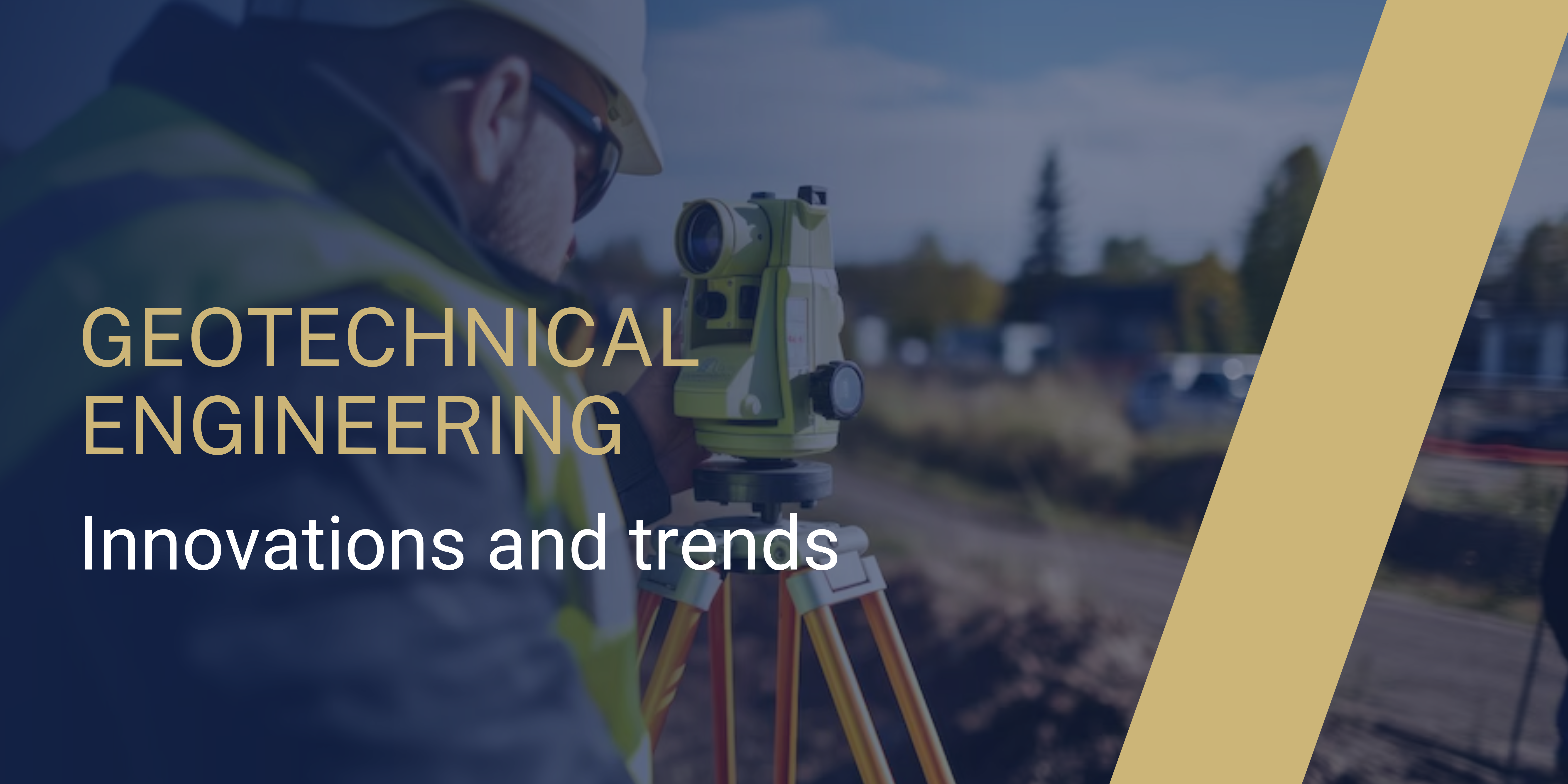
Current Trends in Geotechnical Engineering
Today, geotechnical engineering incorporates digital and biological innovations to address contemporary challenges. Advanced digital soil mapping and biogeotechnical engineering represent a shift towards more precise and sustainable construction practices. Smart geosynthetics and a focus on seismic resilience meet the demands of modern infrastructure. Geospatial technologies enable precise mapping and analysis of site conditions, ensuring effective environmental impact assessments and project optimizations. The integration of big data and artificial intelligence (AI) into geotechnical practices marks a new era of efficiency and accuracy in project planning and execution.
Innovations by Vertex
Vertex is a leader in geotechnical, structural, and environmental monitoring, offering metasensing solutions for tunneling, landslide monitoring, and other infrastructure projects. They combine the latest sensor technology, Internet of Things (IoT) systems, remote sensing capabilities, and the advanced Infrastructure Data Intelligence Platform, Proqio. This integration facilitates real-time data acquisition, crucial for informed decision-making and efficient risk management. Using layered sensing techniques, including drones, LiDAR, and manual surveys, Vertex enhances project planning and execution, ensuring structural integrity and mitigating potential hazards.
The variety of these products includes refractory bricks, castables tiles blankets, fire and china clay fireproof cement, ceramic fiber blankets and much more. The unmatched quality and ideal performance has attracted various industrial sectors to put bulk orders. Additionally for this, there are many fire bricks manufacturers, who’re acknowledged for his or her quality product and prompt services. The notable features like high durability, tensile strength and resistivity to adverse conditions have attracted various industrial sectors to put bulk orders. Additionally for this, the cost-effective prices also have performed an important role within the enhancement from the demands from the construction products within the worldwide market.


Emerging Technologies and Techniques
Emerging Technologies and Techniques
Emerging technologies in geotechnical engineering, such as seismic resilience and 3D printing, are revolutionizing the industry. Innovations in sensor and communication technologies enhance project efficiency, safety, and cost-effectiveness. Techniques like Computed Tomography Scanning and Environmental Scanning Electron Microscope (ESEM) allow detailed visualization of soil and rock structures. The integration of microfluidics and Particle Image Velocimetry (PIV) into geotechnical studies provides critical insights for design and risk assessment. Satellite-based remote sensing, drones, and terrestrial laser scanners, complemented by cloud storage solutions, support real-time data analysis, ensuring informed decision-making.
Challenges and Opportunities
Geotechnical engineering faces challenges from urbanization, climate change, and sustainable development demands. However, these challenges also present opportunities for further innovation. Vertex’s strategy of embracing advanced technologies, such as satellite-based remote sensing, drones, and terrestrial laser scanners, illustrates a proactive approach to overcoming these challenges. By focusing on metasensing and fostering collaborative research, Vertex exemplifies a forward-thinking stance in geotechnical monitoring, aiming to safeguard infrastructure while deepening our understanding of the Earth’s subsurface.
Future Outlook
The future of geotechnical engineering is set to be revolutionized by advancements in meta sensing technology, integrating GNSS, AI, robotics, and sustainable practices. Vertex is at the forefront of this transformation, leveraging over 55 years of innovation in geotechnical instrumentation and sensors to enhance project safety, precision, and efficiency. Their commitment to comprehensive monitoring solutions supports the resilience of critical infrastructure across tunnels, dams, and bridges. By pioneering technologies like Electron Beam Welding and engineered sensor technology, Vertex ensures the reliability and precision of their products, embodying the industry’s move towards data-driven decision-making. Their holistic approach underscores the importance of innovation, collaboration, and sustainability in navigating modern engineering challenges.
After a 2009 Colgan Air crash, the US Federal Aviation Administration raised the requirements for an ATPcertificate from 250 hours to a whopping 1,500 hours of training.